Welcome to BRBRbrooklyn! Whether you are pedaling to the shore, the store, your neighbor’s stoop, or back to your own coop, this blog is for you. Bay Ridge Bicycle Routes is an effort raise to awareness within our neighborhood and among civic groups about the activities of bicyclists in Bay Ridge and other nearby communities in southern Brooklyn.

Our neighborhood’s immediate access to the harbor, less congested street traffic, friendly atmosphere, expansive parks and flat terrain (except, of course, for the steep ridge in Bay Ridge!) makes our corner of New York City one of the most fantastic places to ride a bicycle. Whether for transportation, recreation, fun or fitness, cycling is great in Bay Ridge.

Monday, July 26, 2010

NYC Streets: Top-down, Bottom-up

Here's an upcoming event that may be interesting:

http://cfa.aiany.org/index.php?section=calendar&evtid=1901


Wed 07.28.2010

NewYorkCityStreets:Top-Down,Bottom-Up

When: 4:00 PM - 8:00 PM WEDNESDAY, JULY 28

Where: At The Center

Introduction: Walter Hook, Executive Director, Institute for Transportation and Development Policy

Speakers:
Janette Sadik-Khan, Commissioner, NYC Department of Transportation
Tim Tompkins, President, Times Square Alliance
Liz Berger, President, Alliance for Downtown New York
Joan Byron, Director, Sustainability and Environmental Justice Initiative, Pratt Center for Community Development
Thomas Yu, Co-Chair, Chinatown Working Group
Noah Budnick, Deputy Director for Advocacy, Transportation Alternatives

Respondents:
Rob Eisenstat, AIA, Assistant Chief Architect, Port Authority
Tom Wright, Executive Vice President, Regional Plan Association
Randall Morton, AIA, Morton Architecture, Urban Design

Event website: http://www.ourcitiesourselves.org/

Local Neighborhod Group: BRAKES

Here's a link to a local neighborhood group for traffic safety:

Bay Ridge Advocates Keeping Everyone Safe

B.R.A.K.E.S.


And a recent news article that mentions the group, during the early summer meeting with CB10:

Bike lane backlash: Cyclists speak out against board votes

Thursday, July 22, 2010

RRR#2: Brooklyn Waterfront


OK, so we actually missed this one - it was last weekend on Sunday, July 8th. However, I spoke with a rider who did participate (full disclosure: this rider is also my full-time employer for the past 10 years) who raved about the ride and the amount of information that was gained, in addition to having an enjoyable day. Members of the National Parks Service we also partial organizers of the ride in combination with the Brooklyn Greenway Initiative. National Parks in Brooklyn? Of course! The riders could have even stopped in to see the race happening at Floyd Bennett Field (an NPS site).

The route rolled through our own Bay Ridge neighborhood, along the bicycle path of Shore Road.

More info:
http://www.brooklyngreenway.org/news/register-today-for-2nd-annual-brooklyn-waterfront-epic-ride/

Tuesday, July 20, 2010

RRR#1: Coney Island


Our first photo submitted by a blog follower, from the beach!

Today, we have our first RRR submission (Real Rider Route): Coney Island! Where else would a bicycle rider from Bay Ridge go?

Just over 4 miles of riding from the base of the Verrazano Bridge gets you to the sand and a bit farther takes you to the NY Aquarium.

This route follows the harbor bike path to its end at Shore Parkway, follows Shore Parkway access road heading south, a little jog onto Cropsey Ave and VoilĂ .... Surf Avenue!

This rider followed a similar path backwards, but took Cropsey to Bay 48th and Shore Parkway North to the underpass under the Belt Parkway at 26th Ave. She then rode on the sidewalk of Bay Parkway access road to return to the harbor bicycle path.


Follow the link for the route here:
http://www.gmap-pedometer.com/?r=3896644

Monday, July 19, 2010

Quality Roads!

Picking up on the prior post of the roads and cobblestones around Bush Terminal, this article popped up. When something appears in the Approval Matrix of New York Magazine, it has fully arrived upon the cultural radar. In this case, the inclusion of cobblestone roads in the Tour de France leans towards highbrow brilliant, but not too far to be out of reach!

Tuesday, July 6, 2010

5th Avenue Reopens in Sunset Park!!


Traffic signals along 5th Avenue near Greenwood Cemetery being unveiled on the morning of July 9. Two cyclists ride northbound lane along 5th Avenue on the long-awaited repaved surface.


Of course, we have to leave Bay Ridge once in a while. The best route for northbound cyclists is along 5th Avenue. Ridge Boulevard (2nd Ave) only goes up into the 30's and becomes quite bumpy around the Bush Terminal buildings (for the aficionados, that is another post). 3rd Avenue is as fast as a superhighway and 4th Avenue is very busy with 3 lanes of traffic each way, north of 65th Street. 5th Avenue is the only continuous choice on the west side of Greenwood Cemetery.

The area of 5th Ave that finally reopened extends between 23rd Street and 36th Street. A long-term drainage and utility project had been underway for well over a year. I don't have any shots of the conditions, but is was in place long enough for Google Streetview to capture the conditions.

In fact, here is a link to the Google Maps Streetview at the end of the 5th Avenue bicycle lane at 23rd Street. Guess who is there... a bicyclist!


http://maps.google.com/maps?oe=utf-8&client=firefox-a&ie=UTF8&q=greenwood+cemetery&fb=1&gl=us&hq=greenwood+cemetery&hnear=Brooklyn,+NY+11209&cid=0,0,9363951119781604718&ei=5_IzTKCzFoG8lQeYh8G-Cw&ved=0CB4QnwIwAA&layer=c&cbll=40.660446,-73.994361&panoid=hAiaP0j8Kvjvcb2bH3vYbQ&cbp=12,204.63,,0,15.96&ll=40.660522,-73.994272&spn=0,0.018861&z=16

North of 23rd Street, northbound and southbound lanes extend into Greenwood Heights and Park Slope. How great it would be to have a connection into Bay Ridge!

Harbor Bike Path

No pictures for the harbor bike path, instead 3 YouTube Videos!

This one starts in Bensonhurst and has video highlights riding north to near the 69th Street Pier
http://www.youtube.com/watch?v=0ryUFtUMCpE

Another, Part 1: From the Verrazano Bridge
http://www.youtube.com/watch?v=sLNrRZkwoN0&feature=related

Part 2: continuing north past the bridge
http://www.youtube.com/watch?v=BJVWyMkhuyU

Monday, July 5, 2010

The Classic Bicycle Lane of Bay Ridge: Shore Road

2.1 miles long, this is the gold standard of bicycle lanes of Bay Ridge and possibly one of the best on-street bicycle lanes in NYC. It extends from Owl's Head Park to John Paul Jones Park (aka Cannonball Park) at the base of the Verrazano Narrows Bridge. It parallels an uninterrupted length of park space along the harbor and offers views to the water along its gently rolling grades.

The far ends of the bicycle lane provide access to the harbor bicycle path at 69th Street and the end of 4th Avenue. Riding southbound, no cross streets intersect this route.

When was the bicycle lane painted along Shore Road? I don't know for certain but I think it was in place when we moved to Bay Ridge in 1996, or added soon afterward.

For several years, the yellow traffic dividing line split the roadway equally, so the southbound traffic lane (12') and southbound bicycle lane (5') shared the same 17' dimension as the northbound 17' traffic lane. A realignment of the roadway striping happened around 2003 which resolved the dimensional inequalities. So today, most of the 50' curb-to-curb dimension of Shore Road has 1) an 8' parking lane, 2) a 14.5' northbound traffic lane, 3) a 14.5' southbound traffic lane, 4) a 5' southbound bicycle lane and 5) an 8' parking lane.

So enough statistics, let's take a look at the Shore Road bicycle lane.

From the north, it starts out at 68th Street at Owl's Head Park and two connectors (on street and off street) give access to the 69th Street Pier (aka, the American Veterans Memorial Pier) at the end of Bay Ridge Avenue.

(The pier has its own interesting history. It used to serve as a water taxi stop until sometime around 1997 or 1998 when service was terminated and moved to the Brooklyn Army Terminal. The pier was completely rebuilt in 1999-2000 with a concrete pier and platform to its current configuration. There is no ferry service operating today. Read the story here: http://srwalliance.org/ferry/ferry-history/ and photos of how it was rebuilt http://freepages.rootsweb.ancestry.com/~slowbell/nok38.htm )


Here is the entry to the pier. The off-street bicycle lane connector from 68th Street is to the right. The roadway under the bridge extends from Shore Road, leading under the Belt Parkway and to the pier. This is also the primary access point to a water treatment plant, under the bridge and to the right. Ambulances and police vehicles sometimes queue here awaiting calls. This day, an ice cream truck served folks on the pier.


On the other side of the Belt Parkway bridge is the harbor bike path, adjacent to the 69th Street pier. The sea wall and bicycle and walking paths were closed in 2006 for extensive reconstruction and reopened in 2007. Read more here: http://www.nycgovparks.org/parks/B166/dailyplant/20141

At the intersection of Shore and Bay Ridge Avenue, it was interesting to see how bicycle riders were coming to and from the 69th Street Pier.


This rider was coming from the east, down the hill of Bay Ridge Avenue.


A rider going east away from the pier, crossing Shore Road and headed up the hill on Bay Ridge Avenue. I saw 3 others going the same way a few minutes later.


This rider turned left from the pier and went north one block along Shore Road to Owl's Head Park.


Another rider going north towards Owl's Head Park. This was very common. This rider and 2 others were seen making this turn then right onto the 68th Street bicycle lane. 68th Street is actually one-way (westbound) in the opposite direction these bicyclists were traveling (eastbound along 68th).


OK, so let's follow this rider and go south along Shore Road! He just turned right from the pier, headed south and passing a bus stop with a concrete stopping pad.


The Shore Road bicycle lane passes Ft Hamilton High School. This woman was going south.


Another view from the same location with a bicycle rider going north along the southbound lane. This is common along Shore Road because there is no northbound cycling lane between 69th Street and Oliver Street.


Onward and south along Shore Road!


At Oliver Street, a few features occur. The Shore Road southbound bicycle lane continues as usual. A northbound lane also appears. This is actually the end of the northbound lane which then turns east to Oliver Street (left side of photo).


Coming to 3rd Avenue (feeding in from the left side of photo) there is a lot of activity. All the traffic of 3rd Avenue is connecting to Shore Road. The area farther ahead is between 3rd and 4th Avenue and is a significant terminus for both local and express buses on both sides of Shore Road. Bus routes along Shore Road, 3rd and 4th Avenue terminate and layover here. The bicycle lane is on both sides of the Shore Road, with northbound and southbound lanes. Bus stops run along the entire length of Shore Road, with stops every few blocks to serve these local and express routes. Along Shore Road, some of the stops have the concrete stopping pads, some are just asphalt. However, the surfaces are just fine to ride and I've never seen a conflict between the buses and cyclists. In my experience, the bus drivers are very courteous and respectful to the bicycle lanes - Brooklyn MTA drivers are the best!


Finally, we reach the end of Shore Road at 4th Avenue. Bicyclists usually turn right from here, taking a street-level path across a vehicle approach to the Belt Parkway and continuing to a bridge over the parkway to the water. The car turning right is going to the Belt Parkway. In the background, the row of pylons is marking the lane for cars coming off the Belt Parkway.


Bicyclists riding away from the harbor and into the neighborhood have a few choices....


If they follow the on-street bicycle lane, they would ride north on the bicycle lane of Shore Road.


But a surprising number of riders cross Shore Road and continue up 4th Avenue where there is no bicycle lane and a lot of vehicle traffic.

On a closing note, all of these photos were made on the afternoon of July 5 between 4pm and 5pm, a scorching hot day at 95+degrees F. Despite the heat, plenty of bicycles were using the Sore Road Bicycle lane!

Photos from the Netherlands

An inspirational post to get this blog rolling. We'll be back to Brooklyn... via Breukelen... soon.


My favorite photo: pedestrian sidewalk, bike lane, tram, car lanes, street parking. All happening in one single roadway width. This was one was shot near the Rijksmuseum district in Amsterdam, but it happens across the entire city.

As promised in the prior post, photos made while waiting for a streetcar in Amsterdam. Photos made over approximately 15 minutes, and I did not even come close to capturing everyone that was passing by.

Photos from our own Brooklyn neighborhood up next!


TdF and the Straight Line

Though this blog just started, the calendar forces an attention diversion to bicycling's main event, the Tour de France. Tennis players have Wimbledon (congratulations Ms Williams and Mr. Nadal) and soccer fans have the World Cup (quarterfinals and final this week, good luck to Uruguay, Netherlands, Germany, and Spain…. and if you are reading this blog and unsure who to root for, some strong hints are coming).


Today, the 2010 Tour de France is entering it’s 4th day and is just now crossing the border into France. It has been up north in an area that could safely be considered as the Holy Land of bicycling, the Netherlands and Belgium. Those people bicycle everywhere, all the time. Men, women, young, old (er, I mean, “senior”), heels and flats, rain or shine. The cities are criss-crossed with bicycle lanes and so is the countryside between towns.


So what does this have to do with BRBR? Well, 3 things:

a) Here’s an article recently written by John Eustice, Bicycling: How I Learned to Ride a Straight Line... from an Older Belgian Woman. An entertaining read with some valuable lessons for bicyclists of all kinds, especially those of us in NYC.

Rule # 1: Relax on the machine

Rule # 2: Control from the center

Rule #3 : Learn to ride in a straight line

Rule #4 : Look ahead and anticipate any trouble

Rule # 5: Stay cool and be a benevolent cyclist

Rule # 6: Behave on the bridges (this one is for NYC)

And, yes, I saw plenty of the ladies Mr. Eustice described when I visited a few years ago. Even riding in the rain, carrying umbrellas while pedaling straight along.


b) Soon, I’ll have up some images of bicyclists in the Netherlands. Just a cross section of riders of all kinds Though I'm going to be hard pressed to surpass this: http://www.ski-epic.com/amsterdam_bicycles/. The annotated photos are classic!


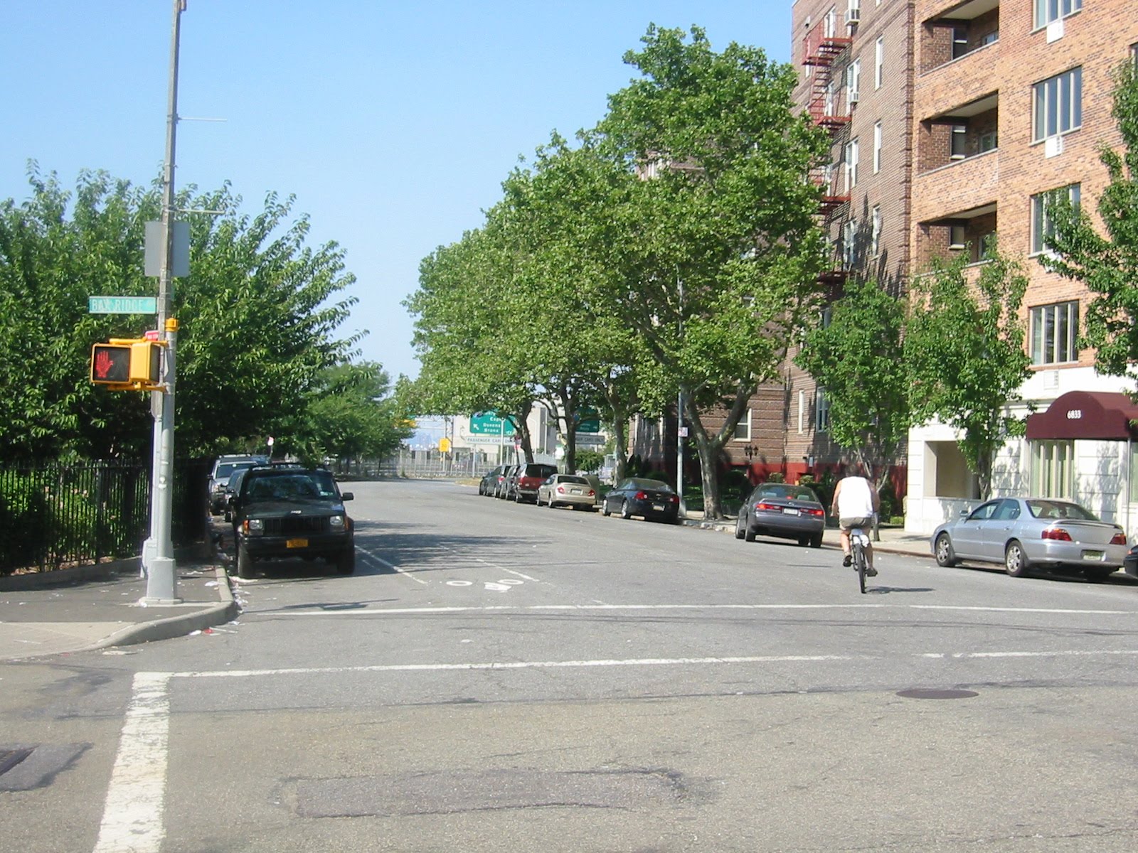
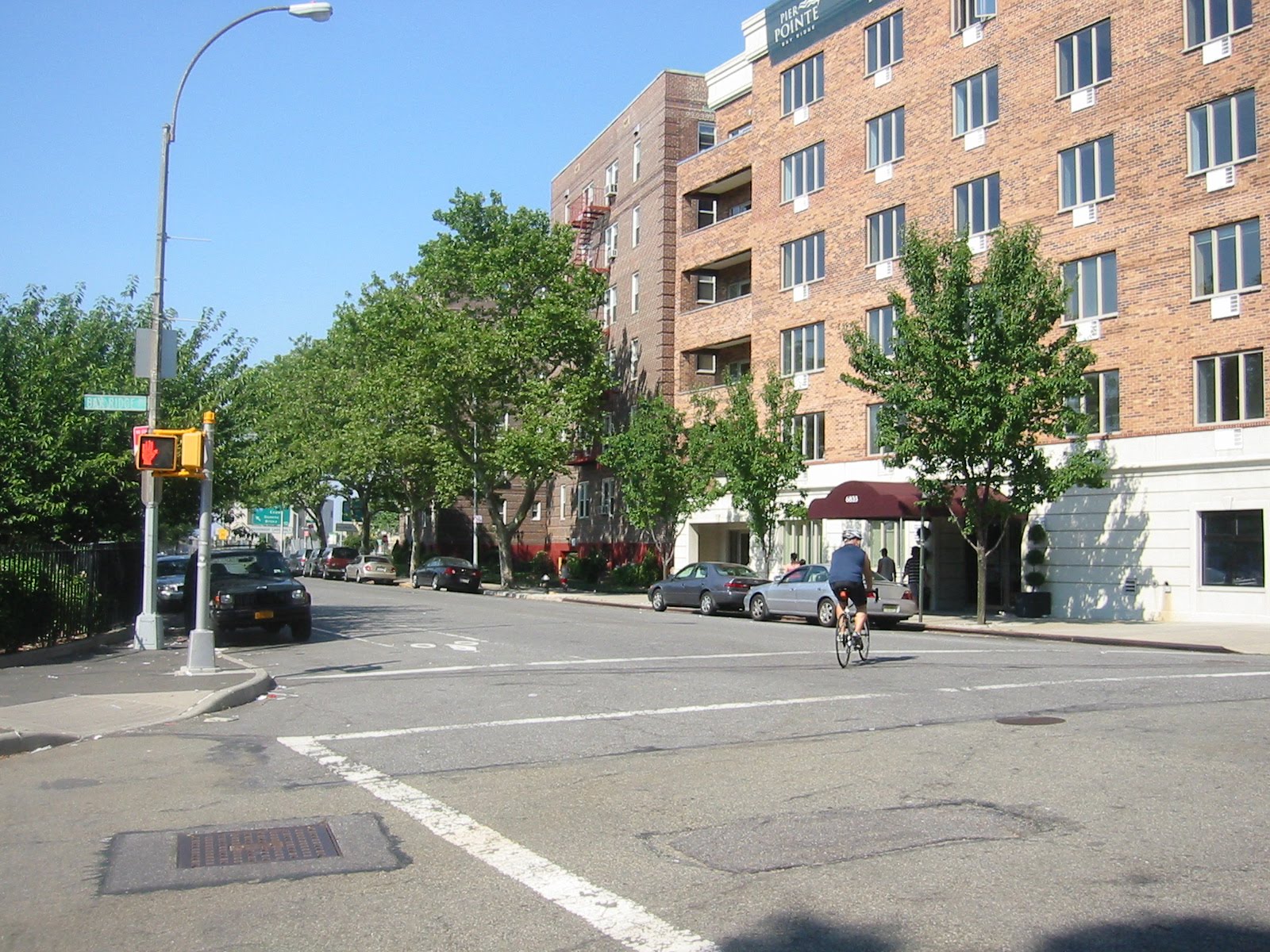
c) Last, the Netherlands series has inspired some shots from our own neighborhood, people riding bicycles, bike lane or not. I’ll get those posted soon, too.

Sunday, July 4, 2010

Additional Related Articles + Info

Some background references and reading from the newspapers:

New York Times, May 19, 2009
In the Future, the City's Streets are to Behave

New York Post, January 27, 2010
Bay Ridge Parents Organizing to Shine Light on Reckless Driving

Brooklyn Daily Eagle, February 24, 2010

Senator Adams, Brooklyn Group, Get Tough on Hit-Run Accidents

Courier Life, June 22, 2010

Canarsie: Bike Lanes are for Park Slope

Courier Life, June 22, 2010
Transportation Commissioner was not Prepared to Meet Ridge

Courier Life, June 23, 2010
Bay Ridge to City: No More Bike Lanes

The Brooklyn Paper, June 23, 2010

Bay Ridge to City: No More Bike Lanes

Courier Life, June 29, 2010

Bike Lane Backlash: Cyclists Speak Out Against Board Votes

Independence Day Roll-out

A few weeks ago, an article appeared in the Bay Ridge Courier and Daily News about the opposition of local Brooklyn Community Board 10 and the Dyker Heights Civic Organization to the installation of a new bicycle lane along Bay Ridge Parkway.

In a sense of civic participation, a letter went to CB10 supporting the bicycle lane and expressing reasons why it made some sense to place it along Bay Ridge Parkway. Other relevant groups were cc'ed on the letter, including Councilman Vincent Gentile, nearby Community Board 18 (also noted in the newspaper article) and even Pastosa (the grocer of tasty Italian pasta and goodies that is on my own bicycling route and would be along the new lane on Bay Ridge Parkway).

The letter was dated June 22. An email reply came back from CB18 on June 25. A letter reply was received from CB10, dated June 29. Both reinforced the standpoints of the articles and further explained their reasons for opposition.


But replies from two groups in less than a week? Very impressive response time. More importantly, I realized this is a
*hot* topic!

In the article and replies received, all expressed a perception that bicycle use was very limited in the neighborhoods and bicycle lanes would only impede vehicular traffic for transit, businesses and deliveries. The CB10 letter also stated that one board member had never seen a bicyclist on the southbound lane of Shore Road. But on July 3, between 10:15am and 10:30am, I counted at least a dozen bicyclist riding on southbound Shore Road as I shot the cover photo for this blog; three of them are in the shot.


Documenting how bicycles are used in the neighborhood and the routes that are followed will be the exact purpose of this blog. Marked routes and unfamiliar paths will be shown. But certainly feel free to contact us and give some of your own information and favorite bicycling paths and routines.

Happy 4th!